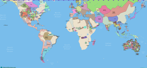
Blog category
Maps & geography
4 articles grouped from the blog archive.
Maps & geography
Country Border Changes in the 21st Century: Official, De Facto, and Partly Recognized
A source grounded guide to official, de facto and partly recognized country border changes since 2000, from Timor Leste and South Sudan to Crimea, Hans Island and maritime rulings.

Maps & geography
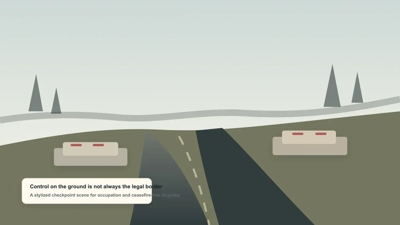
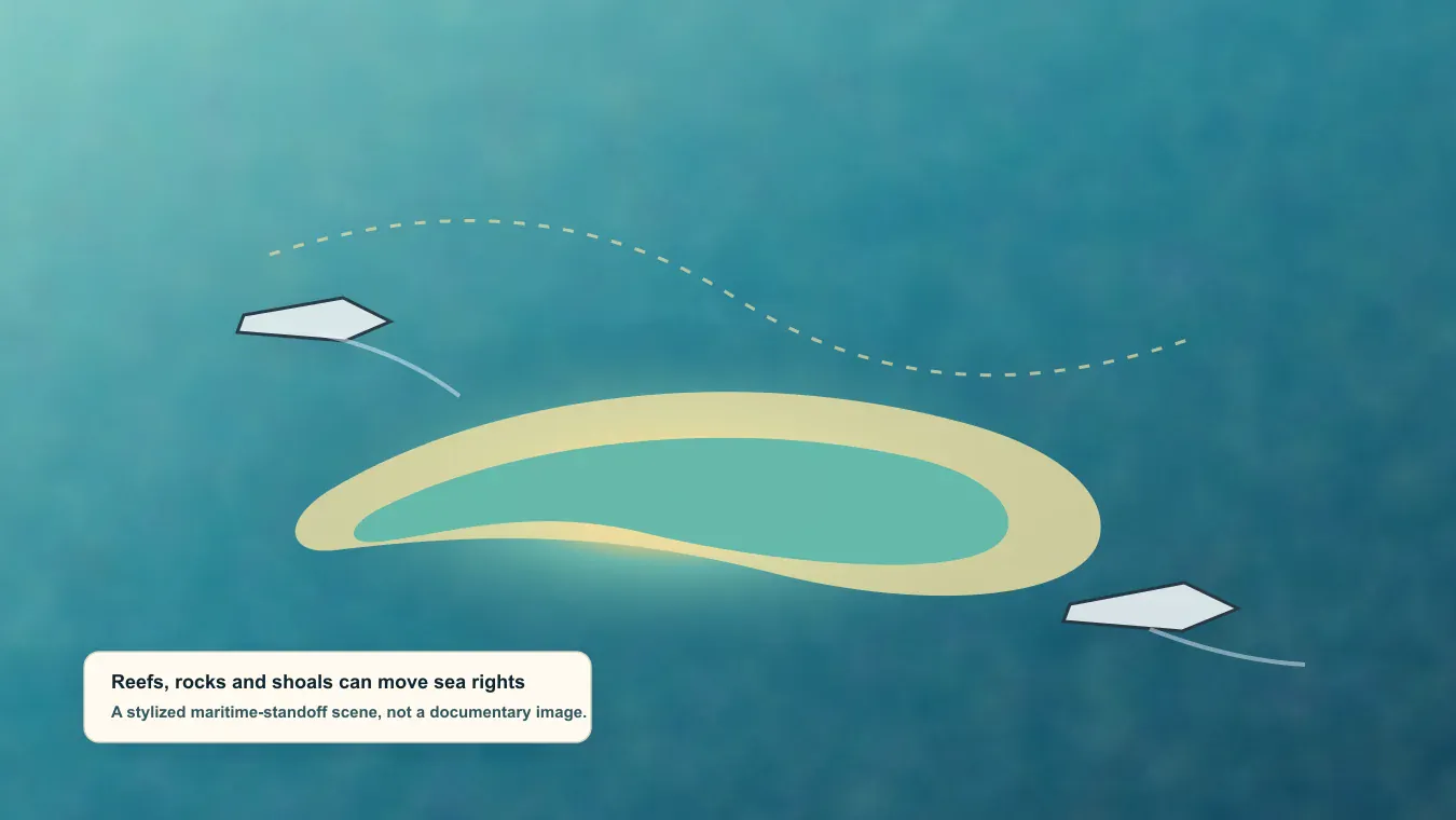
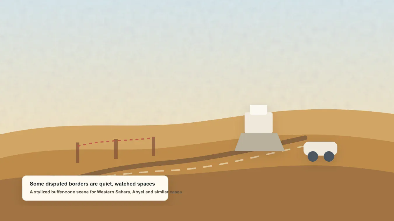
Current Country Border Disputes in 2026: A Global Guide
A region by region guide to the country borders, islands, maritime zones and occupied territories still disputed in 2026, from Ukraine and Kashmir to Essequibo and the South China Sea.
Maps & geography
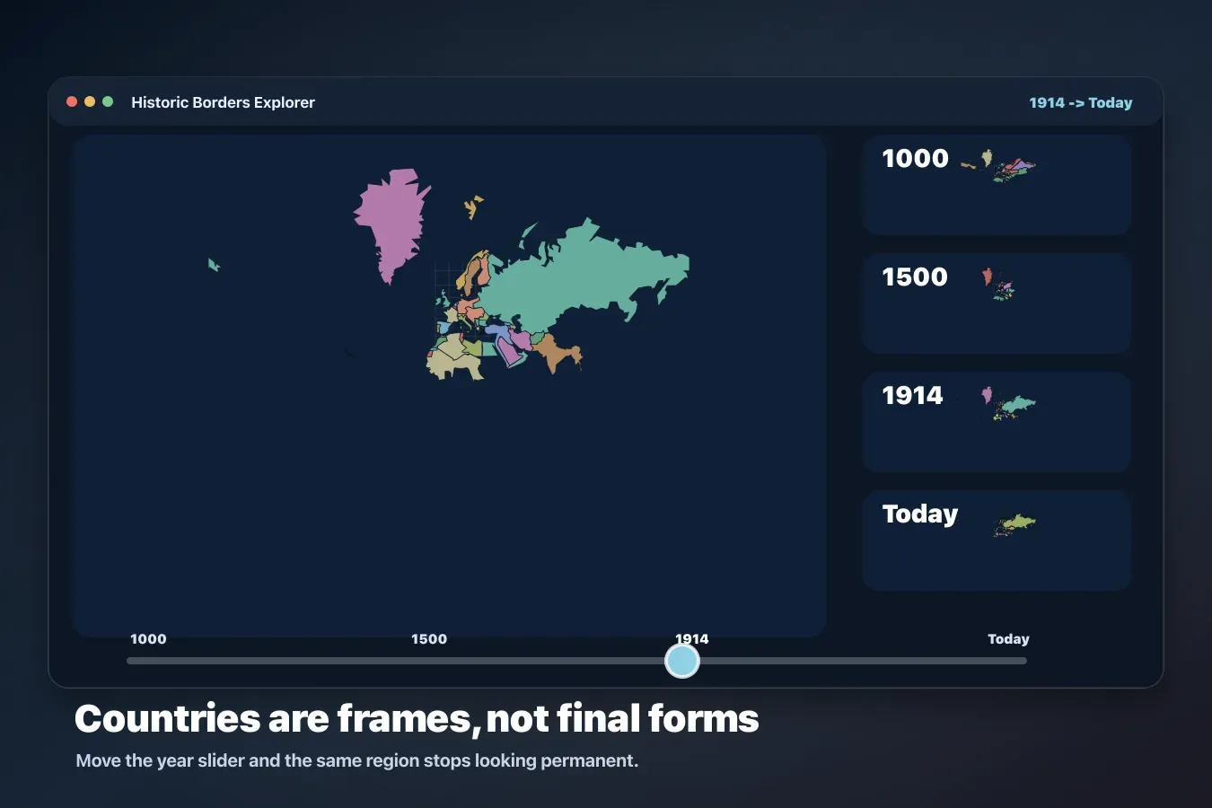
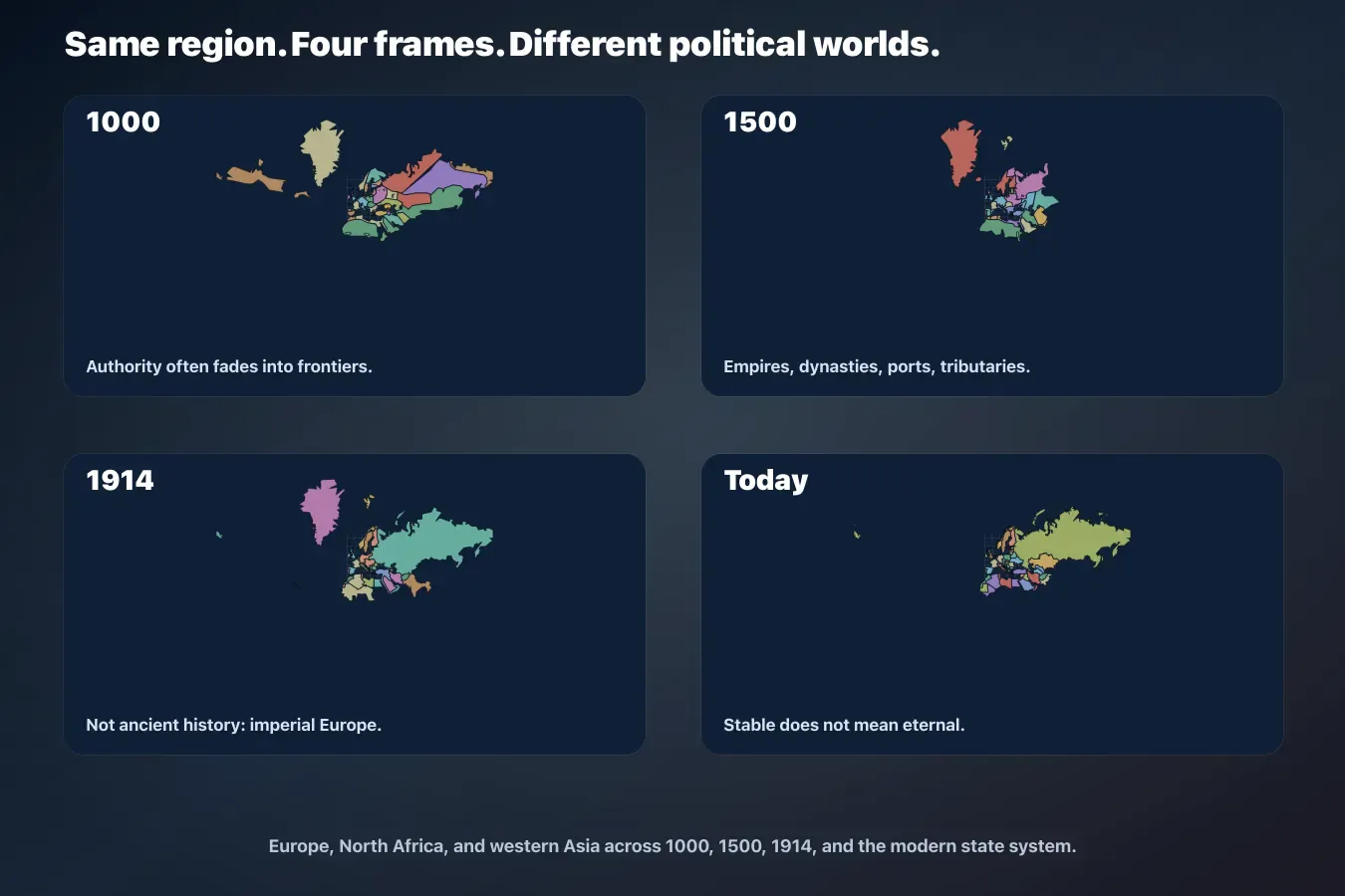
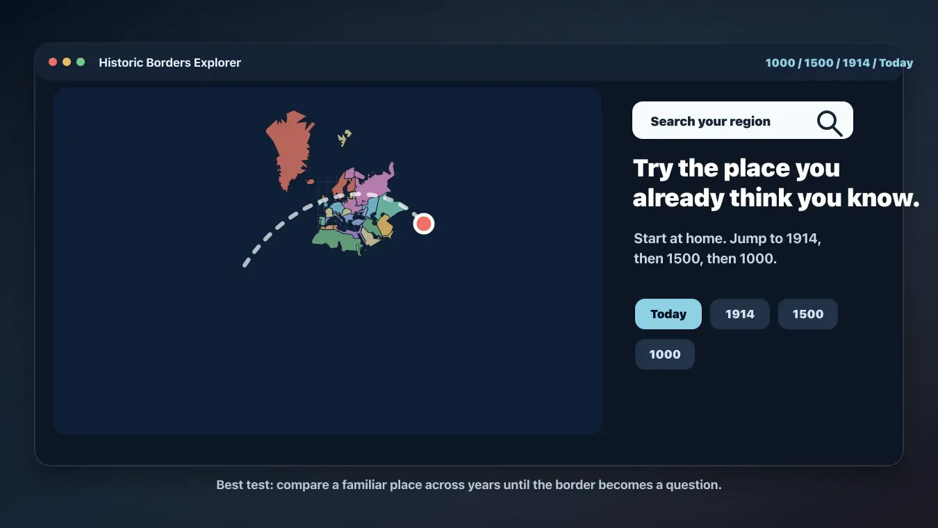
The Historical Borders Map That Makes Every Country Look Temporary
Move a year slider through 1000, 1500, 1914 and the latest 2023 frame, and the world map stops looking fixed. A visual guide to why borders are snapshots, not destiny.
Maps & geography
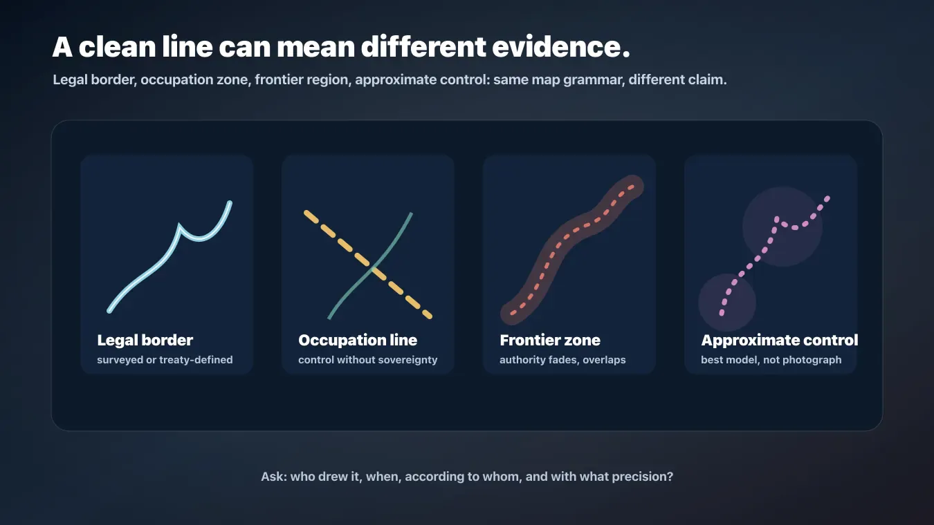
How Historic Border Maps Are Created: Their Strengths, Limits, and Hidden Choices
A practical guide to how historic border maps are made: source gathering, georeferencing, digitization, temporal modeling, uncertainty, and the strengths and limitations readers should keep in mind.